Sunday, October 14, 2007
Tech problems
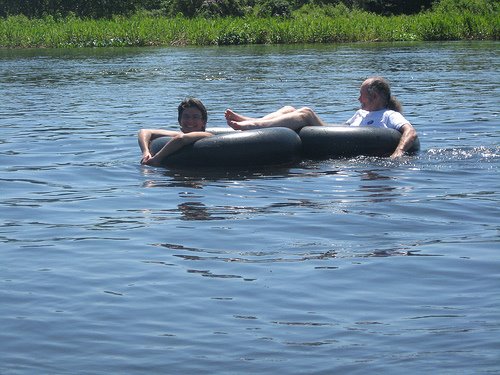
For some reason the pictures I added don´t show up, at least on my screen, unless you click on them. If you click on a photo, it will take you to our flickr account where you can see all of our photos from Chucuito. And sorry, the photos are not in order with the text, since I couldn´t see them as I was posting them.
Subscribe to:
Post Comments (Atom)
3 comments:
The atagama región, northern Chile. It is bounded on the east by Argentina and on the west by the Pacific Ocean. Created as a province in 1843 and as a región in 1974, it includes Chañaral, Copiapó, and Huasco provincias and San Félix and San Ambrosio islands, which lie in the Pacific about 500 miles (800 km) west of Chañaral, the main port. The Atacama Desert covers much of the región. North of Copiapó (q.v.), the capital, a longitudinal valley lies between the coastal range and Andean volcanoes. South of Copiapó a complex series of intermontane basins is overshadowed by towering, snowcapped Andean peaks to the east. Desert climate prevails throughout, and although some meteorological stations have never recorded a drop of rain, some rain falls in the south. Marine terraces and the Copiapó and Huasco river valleys are irrigated for the cultivation of fruits, olives, and alfalfa. Since the 18th century, however, gold, silver, copper, and iron mining, successively, have been the primary economic activities of Atacama. Communications are mainly north-south with the Pan-American Highway and a railroad running the length of the región. Area 29,179 square miles (75,573 square km). Pop. (1994 est.) 202,259.
Just some facts I looked up. Statistics are boring it's the real thing that is interesting and enjoyable. But them together and they make good memories.
hello again
Post a Comment